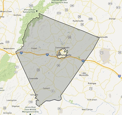
What would it take to make Charlottesville and Albemarle truly walkable? People who live in areas that are walkable are happier, leaner, have more money for leisure, spend more time with their families … is that really achievable in the Charlottesville area?
The answer is – the public would have to express its desire for this, the leaders would have to listen to the people, collaborate, plan and execute a vision that would enable the City of Charlottesville and County of Albemarle to create more walkable and bikeable localities. Of course, in an area that takes 30+ years to build a short Parkway, I think there’s a better chance of flying cars gaining prominence than thoughtful infrastructure being implemented.
What could be done to craft a truly walkable City/County?
Walkability matters – there are growing urban cores within Charlottesville and Albemarle and the sprawlish segmentation continues. But … what if each of these urban cores grows up and densely?
This is the original Google Map I did in 2007. I’ve updated it for today’s world. Biscuit Run is no longer planned. Albemarle Place is now Stonefield (and is built). North Pointe is far off in the horizon.
This is a map of the “town centers” in the Charlottesville – Albemarle area
(If you’re looking for homes near these, use the radius search on my search site)

