Posts tagged Transportation

Why Isn’t Bicycling to School More Accepted/Viable/Practiced?

Accessibility/proximity to schools and parks are two of the most common criteria my buyer clients specify when searching for homes in Charlottesville, and more often, bikeability is a factor in addition to walkability. Walkability increases property values;

This is an excellent article from Bicycling magazine that describes the impediments presented to those who try to ride bikes to school; a few choice quotes –

Childhood obesity rates are soaring, youth participation in sports and other active pursuits is plummeting, and a generation is coming of age with little understanding of the joy and freedom of unsupervised play. There’s a simple solution—but all across the nation our schools earn a failing grade when it comes to letting kids ride their bikes.

Read More

Cville Bike mApp – Track your Bicycle Rides for the Next Month

People want to be close to stuff, and they want to be able to get to that stuff easily. More often, in the City of Charlottesville and more urban parts of Albemarle, “getting to that stuff” includes bicycles. Now the Charlottesville MPO is seeking to capture data that will show how many are biking to places.

Walkability matters ; so does bikeability.
Cville bike mapp

For the next month or so I’m going to be using the Cville Bike mApp to track my bicycle rides around Charlottesville and Crozet instead of MapmyRide.

On April 14th the Charlottesville-Albemarle Metropolitan Planning Organization (MPO) will release the Cville Bike mApp, a free, bike route mapping application for iPhone and Android phones. The App allows cyclists to record their trips and send the trip information to the MPO for transportation planning purposes. With an expected decrease in federal transportation funding, this data will help elected officials better determine where to target limited available funds for future cycling enhancements and improvements. This data input effort will also position the region to be more competitive for transportation grant funding. More specifically, the App will allow transportation planners to map cycling patterns, determine cycling corridors, identify cycling barriers and find appropriate locations for cycling facilities.

The MPO will be collecting cycling data over an approximately one month period – from April 14th to May 18th. Help local planners and elected officials improve cycling in Charlottesville and Albemarle by recording your bike trips using the Cville Bike mApp. Remember, mApp it for Better Biking!

I have no doubt that I could find significant and substantial data to support the opposite perspective, but in my practice, I have found that my clients value bicycle and walking paths and accessibility. Can I place a quantitative value on that? No; sometimes it’s a matter of “will they buy it?” Yes or No.

The League of American Bicyclists noted in 2010:

As we pointed out in our report, The Economic Benefits of Bicycle Infrastructure Investments, studies have shown that real estate property values increase with proximity to bicycle paths. People enjoy living close to bike paths and are willing to pay more for an otherwise comparable house to be closer to one.

Download the Android mApp here.

Download the iOS mApp here.

Read More

204 More Homes Coming to Rio Road?

Looks like I need to update my post from December pondering what Rio Road is going to look like in 5 years.

Charlottesville Tomorrow reports:

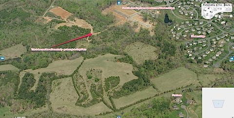
The site of a former wastewater treatment plant near Pen Park is under consideration for the construction of 204 homes in both Albemarle County and Charlottesville.

I’d agree with Planning Commissioner Green:

Commissioner Lisa Green encouraged Lopez to further interconnect Lochlyn Hills with the city.
 
“In the city, what makes a neighborhood is [people] getting out and walking to the Downtown Mall,” Green said. “Although I applaud all the well-thought-out improvements to the trails, people want to walk to their jobs downtown and I’m not so sure they’re going to do that through the woods.”

Not planning for or accommodating non-vehicular traffic (you know, walking and biking) is irresponsible and will, to many buyers, reduce the desirability and marketability of the homes.

Read More

A Longer Western Bypass?

If nothing else, there might be something additional to study. Charlottesville Tomorrow reports: “A proposal to extend the planned Western Bypass of U.S. 29 further northward is among the potential concepts that will be presented this afternoon to the Metropolitan Planning Organization policy board for possible inclusion in the region’s long-range transportation plan.”

Read More

Best Buy Ramp Still Delayed

Charlottesville Tomorrow reports that the Best Buy ramp project is still delayed.

Is anyone surprised that the advice VDOT is offering is this?

Rich suggested that acceptance might be the best response to distant construction dates.

This seems par for the course in the Charlottesville – Albemarle area, when one of the three conditions set forth by the City of Charlottesville is to “have more meetings.”

Read More